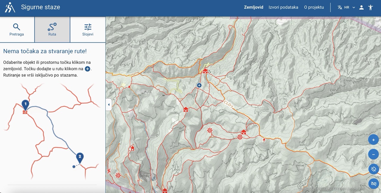
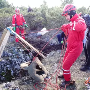
The Croatian Mountain Rescue Service (HGSS) presented a web application and interactive map of the Republic of Croatia - Sigurnestaze.hr, which is intended for mountaineers and hikers.
The application allows you to create your own routes, search and explore the terrain, trails, facilities, climbing areas and peaks, and most importantly, it uses verified data from the Register of Mountaineering Routes and Bypasses of the Croatian Mountaineering Association, as well as trails suitable for hiking and mountaineering according to data collected on the ground by Croatia Mountain rescue service.
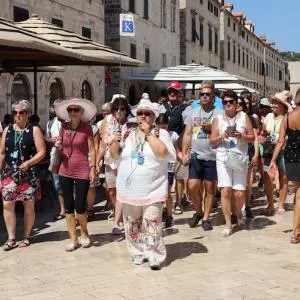
The purpose of this application is to promote active tourism in rural and hard-to-reach areas with an emphasis on increasing the level of security, and the main goal is to increase the level of security and up-to-date data.
"It is important to note that the development of this application is the result of the long-term work of the Cartography project, which has been present within HGSS since 2012. Over the years, the project has mapped more than 70 areas within the Republic of Croatia, and some of these areas have even passed through three editions, which testifies to the dedication and thoroughness of the project." according to HGSS.